
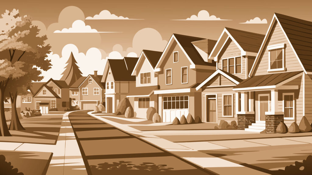
A Neighborhood with Deep Westside Roots
Glendale sits on the western side of Salt Lake City, west of Interstate 15 and along the Jordan River. Today, it is known for its welcoming blocks, multicultural character, parks, schools, and easy connection to downtown. But the neighborhood’s story reaches back well before the tidy postwar homes most people associate with Glendale.
For generations, this part of the valley was a landscape of farms, waterways, open ground, and industry. The Jordan River served as both a source of irrigation and a defining geographic feature. As Salt Lake City expanded westward, the area gradually changed from rural land into a working-class neighborhood connected to the city by roads, rail lines, factories, and later, major highways.
Glendale’s present-day boundaries are generally described as extending west from Interstate 15 to the city limits, with the 9 Line corridor near 950 South forming its northern edge and State Route 201 marking the southern vicinity. The neighborhood borders Poplar Grove and lies close to South Salt Lake, making it one of the city’s important westside crossroads. ([slc.gov](https://www.slc.gov/district2/tour-district-2/288/?utm_source=openai))
Before Glendale: Farms, Families, and the Jordan River
Some of the earliest documented settlers in the area were members of the George Q. Cannon family. The George Q. and Caroline Cannon House, a Victorian-style brick home built in 1876 near 1354 South and 1000 West, remains an important reminder that families were living and farming in this portion of the valley long before the neighborhood took its modern shape. ([en.wikipedia.org](https://en.wikipedia.org/wiki/Glendale%2C_Salt_Lake_City?utm_source=openai))
Religious and community life also developed early. In 1896, the Cannon Ward was organized to serve residents in a broad area west of central Salt Lake City. By the end of 1900, the ward included 61 families and 331 people, including 81 children. Those numbers offer a glimpse of a close-knit rural settlement growing gradually around farms, canals, roads, and the river. ([en.wikipedia.org](https://en.wikipedia.org/wiki/Glendale%2C_Salt_Lake_City?utm_source=openai))
The late nineteenth century also brought industry. Near what is now the northeastern part of Glendale, around 950 South and 600 West, businesses included a brickyard, brewery, biscuit factory, salt works, and soup factory. The Jordan River and nearby canals supported agriculture, while railroads and industrial corridors connected the west side to the rest of Salt Lake City. Over time, the area became more strongly associated with labor, manufacturing, and practical working-class housing.
How Glendale Got Its Name
The clearest documented explanation for the neighborhood’s name is its connection to Glendale Gardens, a residential development created during the World War II era. City planning documents describe Glendale Gardens as one of the first major subdivisions that gave the neighborhood its recognizable postwar identity. Streets such as Glendale Drive and Glenrose Drive still preserve that development’s influence. ([slc.gov](https://www.slc.gov/district2/tour-district-2/288/?utm_source=openai))
The name “Glendale” itself evokes a pleasant, garden-like valley, but available local histories do not provide a definitive story about a single person or event that first coined it. What is certain is that Glendale Gardens became the name attached to the housing project and surrounding streets, and the neighborhood eventually inherited that name. Even Glendale Middle School and nearby institutions continue to reflect the legacy of the original development. ([kiwix.starmango.org](https://kiwix.starmango.org/content/wikipedia_en_all_maxi_2024-01/A/Glendale%2C_Salt_Lake_City?utm_source=openai))
World War II and the Birth of Modern Glendale
The most important turning point in Glendale’s history came during the 1940s. World War II brought thousands of workers, military personnel, and families to Utah. Salt Lake City needed housing quickly, and Glendale Gardens was developed to accommodate many of these new residents, including people connected to the relocation of the Ninth Service Command to Fort Douglas. ([slc.gov](https://www.slc.gov/district2/tour-district-2/288/?utm_source=openai))
Aerial photographs show substantial residential construction between approximately 1937 and 1958. Many homes were built between 1947 and 1952, especially south of California Avenue and around the streets west of 1200 West. These houses were practical, modest, and designed for families—qualities that still shape Glendale’s character today. ([en.wikipedia.org](https://en.wikipedia.org/wiki/Glendale%2C_Salt_Lake_City?utm_source=openai))
The war years also brought major industrial activity. The Utah Ordnance Plant, operated by the Remington Corporation, was constructed in 1941 and produced ammunition during the war. Although the plant operated for only a short period and was later decommissioned, its presence reflected Glendale’s place in the national wartime economy. The west side was not simply a residential district; it was part of the machinery that helped support Utah’s military and manufacturing growth. ([en.wikipedia.org](https://en.wikipedia.org/wiki/Glendale%2C_Salt_Lake_City?utm_source=openai))
Parks, Gardens, and Neighborhood Landmarks
One of Glendale’s greatest treasures is its relationship with the Jordan River. The Jordan River Parkway, developed through cooperation among Salt Lake County and state and local agencies, helped transform neglected river edges into public recreational space. Today, residents can walk, bicycle, fish, and enjoy open views along the parkway and connected trails. ([en.wikipedia.org](https://en.wikipedia.org/wiki/Glendale%2C_Salt_Lake_City?utm_source=openai))
Jordan Park, near 1100 South and 900 West, is one of the neighborhood’s best-known gathering places. It provides broad lawns, mature trees, sports facilities, and space for community events. The International Peace Gardens, established in the mid-twentieth century and dedicated in 1952, adds another distinctive landmark. Its gardens represent dozens of countries and reflect Salt Lake City’s long history as a place where people from many backgrounds have made homes. ([en.wikipedia.org](https://en.wikipedia.org/wiki/Glendale%2C_Salt_Lake_City?utm_source=openai))
Other familiar places include Modesto Park, Nelli Jack Park, Weseman Park, Glendale Middle School, Mountain View Elementary, and the Steiner Aquatic Center. These are not merely facilities on a map. They are the settings for summer afternoons, school memories, neighborhood sports, family gatherings, and the everyday connections that make a community feel lived-in.
In recent years, the former water-park site near 1375 West has begun a new chapter as Glendale Regional Park. The project was shaped through extensive community input and represents one of Salt Lake City’s most significant recent investments in westside public space. ([slc.gov](https://www.slc.gov/parks/salt-lake-city-completes-the-first-phase-of-the-highly-anticipated-glendale-park/?utm_source=openai))
Glendale Through the Decades
After the war, Glendale matured into a stable neighborhood of single-family homes, apartments, schools, small businesses, and industrial properties. Its streets developed a somewhat different feel from Salt Lake City’s older eastside grid. Glendale Drive, Glenrose Drive, and other curving streets reflect the planning ideals of the 1940s and 1950s rather than the rigid blocks laid out in the city’s earliest years. ([slcdocs.com](https://www.slcdocs.com/Planning/MasterPlansMaps/WSLMPA.pdf?utm_source=openai))
By the late twentieth century, Glendale had become increasingly diverse. Immigrant families and residents with roots across Latin America, the Pacific Islands, Asia, Africa, and other parts of the world added new languages, foods, traditions, and businesses. The neighborhood’s cultural richness is now one of its defining qualities. City leaders describe Glendale as a cultural crossroads, valued for its friendliness, affordability, and strong sense of community. ([slc.gov](https://www.slc.gov/district2/tour-district-2/288/?utm_source=openai))
Today, Glendale is changing once again. New housing, trail improvements, redevelopment, and the opening of Glendale Regional Park are bringing fresh attention to the neighborhood. At the same time, longtime residents continue to protect the qualities that have always mattered here: familiar faces, front-yard conversations, access to the river, and the feeling that neighbors look out for one another.
That balance between change and continuity is Glendale’s enduring story. From Cannon family farms to wartime housing, from factories and rail lines to gardens and trails, the neighborhood has continually adapted without losing its identity. For anyone who takes a walk along California Avenue, follows the Jordan River Parkway, or watches families gather at Jordan Park, Glendale’s history is easy to see—and even easier to feel.